Fire near Morville-lès-Vic
48.81°N, 6.54°E
What the satellites measured
No satellite measured this fire: it is known from the press or from the emergency services, not from a thermal detection. There is therefore no power curve and no pass to detail; the timeline above tells what was announced.
Timeline
Activestarted on 24 October at 20:00
- First report24 October at 22:40
Moselle. Un important incendie mobilise plus de 50 pompiers à Morville-lès-Vic · Le Républicain Lorrain
A "contained" fire is no longer spreading but is not out: crews remain on site and it can flare up again. Statuses and areas come from press reports and official sources, matched automatically; they are not an official record : only the prefecture and the fire service are authoritative. An entry with no news for ten days is closed automatically, and each entry's history keeps track of who announced what, and when.
The location
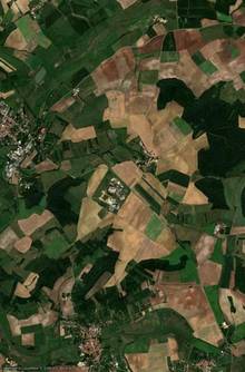
No satellite detected this fire: it is known only through press and official sources. There is therefore nothing to replay : the map shows the place, and the timeline above tells what was announced. This is the most common case in France: a fire of a few hectares brought under control in the afternoon slips between two overpasses without leaving a single hot pixel.
Follow live
The map shows active fires in 3D, with smoke plumes, forecast wind, drop zones and the live position of water bombers tracked by ADS-B, anywhere in the world.
Open the fire map© 2026 SARO · Gistin. All rights reserved. The interface, its presentation and the contents of GISFire are protected; reproducing or imitating them requires written permission. The source data remain the property of their respective producers, see the credits.