Fire near Allan
44.49°N, 4.78°E · first detected on 18 August at 14:08
What the satellites measured
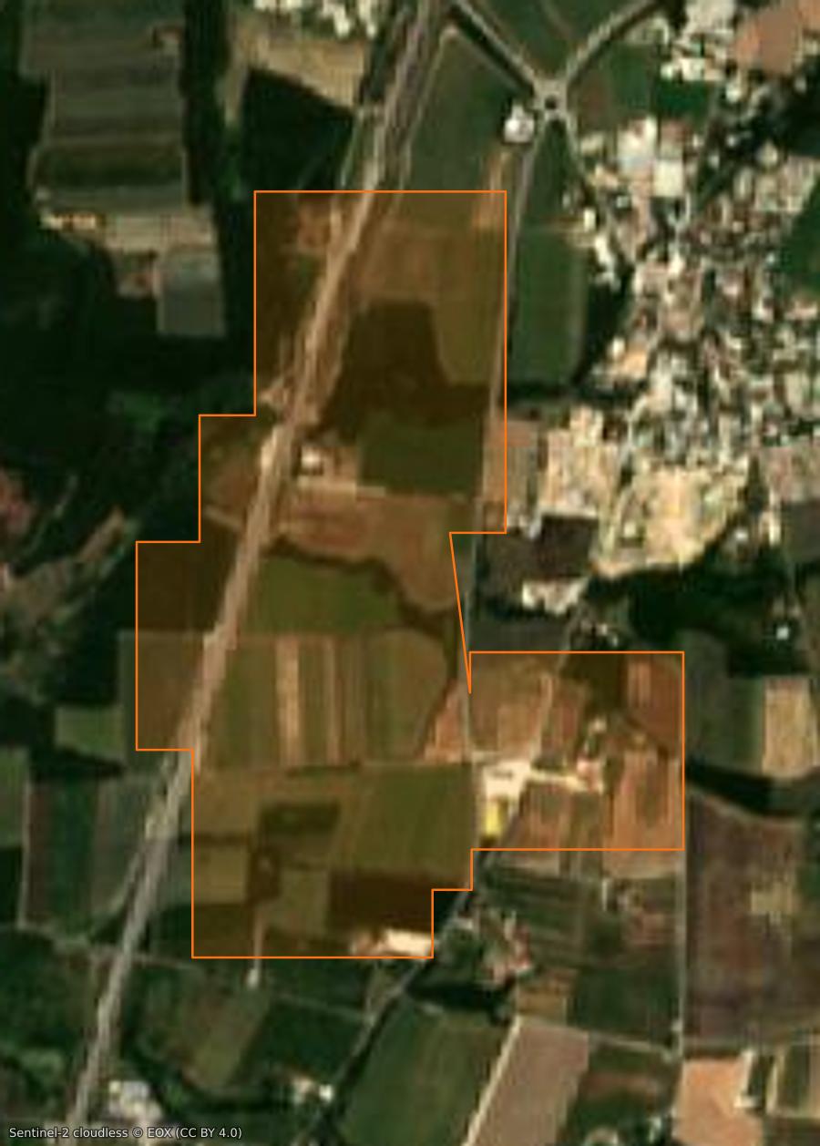
This fire was tracked from 18 August at 14:08 to 18 August at 15:29, through 9 satellite detections. The detected extent reaches 103 ha.
- Detected extent
- 103 ha
- Cumulative power
- 89 MW
- Peak power, one pixel
- 19 MW
- VIIRS and MODIS detections
- 9
These four figures cover the polar orbits alone, the ones that measure an area. The pass table below also counts geostationary detections, more frequent but too coarse for geometry, and its power column sums a whole pass where the peak above is that of a single pixel.
“Detected extent” is not “burned area”: it is the union of the ground footprints of the satellite pixels, and a pixel counts in full (375 m for VIIRS, 1 km for MODIS) even when only a forest edge is burning. Compared with press figures it is in practice one and a half to three times the area reported. Detections taken at the edge of the scan swath, too coarse to measure anything at all, are excluded. These figures come from thermal detection and are not an official assessment: only the emergency services and the competent authorities are authoritative.
Timeline
Closed, no updatestarted on 18 August at 16:07 · closed with no update, on 19 August at 16:10
- Closed, no update19 August at 16:10
No further news, a day of silence for an active fire, four for a contained one, and no recent satellite detection nearby: the register closed the entry on its own. This is a presumption, not an announcement, and a new report would reopen it.
- First report18 August at 16:07
Montélimar : un feu en cours route d'Allan, deux hectares déjà parcourues · ici.fr
A "contained" fire is no longer spreading but is not out: crews remain on site and it can flare up again. Statuses and areas come from press reports and official sources, matched automatically; they are not an official record : only the prefecture and the fire service are authoritative. An entry with no news for ten days is closed automatically, and each entry's history keeps track of who announced what, and when.
Replay how the fire spread
The map is framed on this fire's footprint and loads only its detections. The timeline below covers the period in which satellites saw it, from the first to the last detection, with twelve hours before and twenty-four after; the ticks on the bar mark the emergency services' announcements that fall within it. The cursor opens on the most powerful pass, and playback replays the whole fire in about thirty seconds. “1 h” shows what is burning within an hour of the chosen moment : the map then follows the power curve below and empties when it falls. “24 h” stacks twenty-four hours : a fire stays visible between two satellite passes, which come two to four times a day. Both are true, but they say different things.
The detected extent
Before, after: the burn scar seen from space
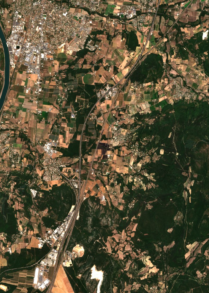
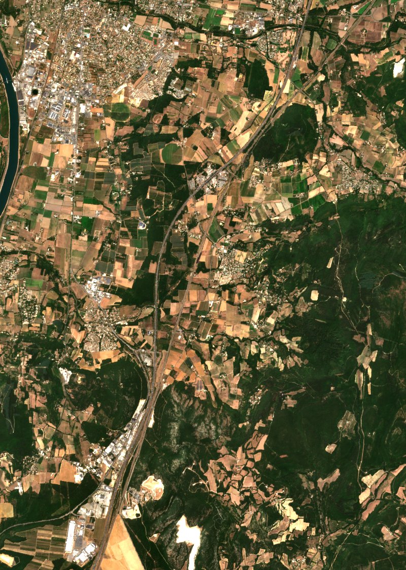
Sentinel-2, 10 m resolution. The dates are those of the least cloudy passes available: “after” is not the day after the fire went out, it is the first clear sky that followed. Contains modified Copernicus Sentinel-2 data (2026).
How the radiative power evolved
One point per satellite pass: the sum of the fire radiative power measured over the fire. This is the curve that says whether the fire eased off or picked up again, which no cumulative figure shows. The window covers 3 days; beyond that, clustering would merge two successive fires in the same place.
Fire dynamics
Loading history…
Satellite passes in detail
| Pass | Power summed over the pass | Detections | Sensor |
|---|---|---|---|
| 18 August at 15:29 | 19 MW | 2 | N21 |
| 18 August at 14:44 | 12 MW | 3 | N20 |
| 18 August at 14:25 | 58 MW | 4 | N |
Follow live
The map shows active fires in 3D, with smoke plumes, forecast wind, drop zones and the live position of water bombers tracked by ADS-B, anywhere in the world.
Open the fire mapTake the data of this fire with you
A ready-to-use archive, paid once, no subscription. It contains:
- the satellite detections of the fire
- the contours of its progression
- the drops and the aircraft tracks
- the lightning around it
- the severity of the burned area, when computed
From €20.00 excl. VAT, six formats to choose from, link valid for 30 days.
Download the dataPro subscribers: included. €49 excl. VAT a month, no commitment. The public map stays free. Discover GISFire Pro
© 2026 SARO · Gistin. All rights reserved. The interface, its presentation and the contents of GISFire are protected; reproducing or imitating them requires written permission. The source data remain the property of their respective producers, see the credits.